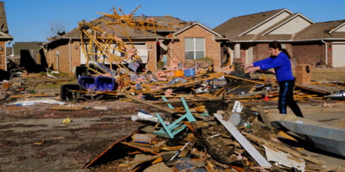
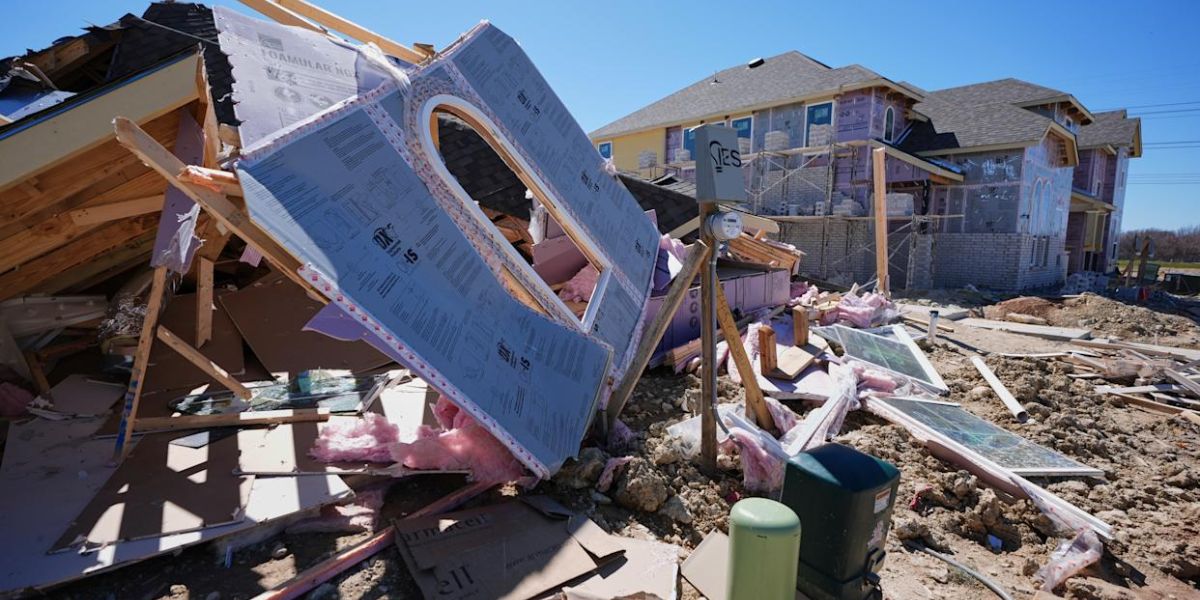
Six people have died as a result of a severe winter storm that hit vast areas of the country, bringing blizzard conditions to the Midwest, hurricane-force winds to Texas, tornadoes in Oklahoma and Texas, and enhanced wildfire dangers in the mid-Atlantic region.
On Tuesday, high winds toppled power lines and trees across multiple Mississippi counties, killing three people and knocking out power to 38,000 people, according to WAPT News. “Tragically, a third fatality has been reported,” Mississippi Governor Tate Reeves tweeted on social media Wednesday. “Please pray for their family during this difficult time.”
Three more individuals were killed in Nebraska after a crash on snow-covered Interstate 80 in the state’s south, according to the Nebraska State Patrol. More than 300 snow-related events were reported in Nebraska as a result of the storm.
KMBC News said that crews were attempting to restore power in and around St. Louis, where severe winds had knocked out power to 190,000 customers.
The National Weather Service had issued a tornado watch for eastern Louisiana and southern Mississippi until 7 p.m. CT on Tuesday, prompting Mardi Gras parades in Jefferson Parish, La., to be canceled and New Orleans celebrations to be reduced.
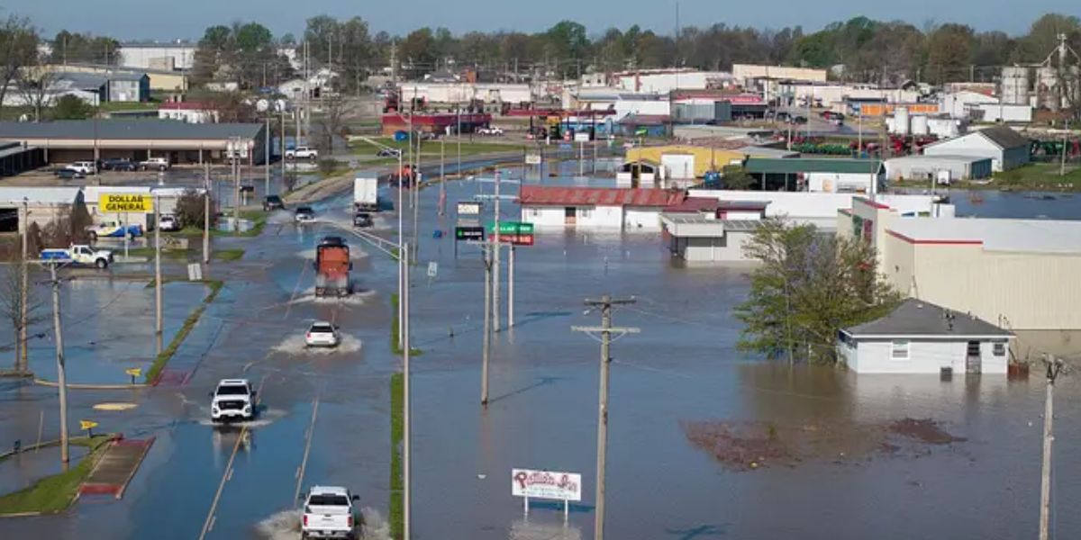
Meanwhile, Texas saw significant power outages this week, leaving tens of thousands of consumers without electricity. Hurricane-force winds pounded the state for much of the day. The NWS issued high-wind warnings for 20 states on Wednesday.
“A major winter storm will continue to bring widespread hazards through Wednesday night, including damaging winds, blizzard conditions, severe weather, and localized flash flooding from the central to eastern U.S.,” the National Weather Service stated in a Wednesday advisory.
Wind gusts
According to the NWS, strong winds are expected again Wednesday in parts of Texas, Louisiana, Mississippi, Alabama, Georgia, Florida, North and South Carolina, Virginia, Kentucky, and Tennessee, Arkansas, Nebraska, Indiana, Illinois, Ohio, West Virginia, Iowa, Minnesota, Wisconsin, and Michigan.
Wind gusts of up to 70 mph were recorded in a number of sites as the system passed over the central Plains on Tuesday, arrived in the Midwest by Tuesday night, and crossed the Great Lakes on Wednesday.
“Travel should be limited to emergencies only. If you must travel, bring a winter survival kit with you. If you become stranded, stay with your vehicle, meteorologists advised in an alert.
Snow
The NWS office in Des Moines has forecasted a blizzard for Iowa on Wednesday.
“Strong northwest winds will continue for much of the day, with gusts reaching 50-65 mph at times, before subsiding later. Snow is progressively melting, but high gusts are still blowing it about, making visibility poor and travel difficult,” the NWS warned in an alert. “If you get stranded, stay with your vehicle.”
Following several inches of snowfall Tuesday night into Wednesday morning, Minnesota Gov. Tim Walz activated the Minnesota National Guard to assist with emergency storm operations.
Heavy snow fell in parts of Kansas, Nebraska, Missouri, Iowa, Minnesota, Illinois, South Dakota, and Wisconsin on Tuesday and early Wednesday.
“There is some uncertainty about how long that blowing snow will linger after the falling snow has ended,” NWS meteorologist Brooke Hagenhoff told Radio Iowa. “So anyone who’s out and about on Wednesday will definitely want to take it easy and check road conditions before they head out.”
Widespread effects, including tornado watches
The powerful storm system had an influence across the country, as seen by the tornado watch issued for eastern Louisiana and southern Mississippi on Tuesday, as well as severe power disruptions in North Texas.
“Dangerous winds will knock down trees and electrical lines. Widespread power outages are likely. Travel will be difficult, particularly for high-profile vehicles, according to a Tuesday bulletin from the NWS office in Dodge City, Kan.
Tornado watches were issued by the NWS for portions of the Carolinas and Virginia on Wednesday.
Wildfire risk
Despite the snow and rain that the system will bring across the central U.S., places like Texas faced an increased risk of wildfires from the storm, thanks to a mix of high winds, low humidity and warm temperatures. Along with high-wind warnings, the NWS released red flag warnings across Western sections Texas. Red flag warnings signify that the circumstances are ideal for wildfires.