 by
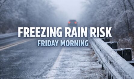
by Paducah, KY – August 1, 2025 – After days of sweltering heat and high humidity, Western Kentucky is finally getting a break. Scattered thunderstorms are expected Thursday as a cold front moves through, bringing significantly cooler and drier air for the weekend. While the storms may cause brief travel hazards, the forecast promises relief from the recent heatwave.
What to Expect
According to the National Weather Service in Paducah, Thursday will serve as a transition day between oppressive heat and a more pleasant weather pattern. High temperatures will range from 80°F to 93°F, and scattered thunderstorms are likely across the Quad State region. Although humidity levels will begin to fall, there remains enough atmospheric moisture to spark afternoon and evening storms, some of which could bring brief downpours and gusty winds.
Weekend Weather Looks Pleasant
The relief will become noticeable on Friday as temperatures settle into the upper 70s to mid-80s, accompanied by a significant drop in humidity. This more comfortable pattern will continue through the weekend. Though southern Kentucky may see isolated storms Friday and western Kentucky may have a few showers Sunday, most areas can expect dry conditions and mostly sunny skies.
Overnight lows will also cool considerably, falling into the upper 50s to mid-60s and offering a much-needed break from the recent overnight mugginess.
Weekend Outlook for Specific Cities
Murray, Mayfield, and Owensboro are forecast to see calm and clear skies for much of the weekend. However, travelers along I-24 and I-69 should exercise caution on Thursday due to potential brief storms that could reduce visibility and cause slick roads.
Stay Informed
Residents with outdoor plans are encouraged to monitor local forecasts, particularly on Thursday and Sunday, when isolated storms could disrupt activities. Emergency management teams advise caution on the roads during any storm activity.
Extended Forecast Snapshot
- Friday: Mostly sunny with isolated storms in southern Kentucky. Highs 79–85°F, lows 59–65°F
- Saturday: Mostly sunny and dry. Highs 79–85°F, lows 58–65°F
- Sunday: Mostly sunny with isolated storms in western Kentucky. Highs 82–87°F, lows 60–66°F
- Monday: Continued dry and sunny. Highs in the mid-80s
The transition from extreme heat to milder temperatures is a welcome development for residents and travelers, but caution is still advised during Thursday’s storms.