 by
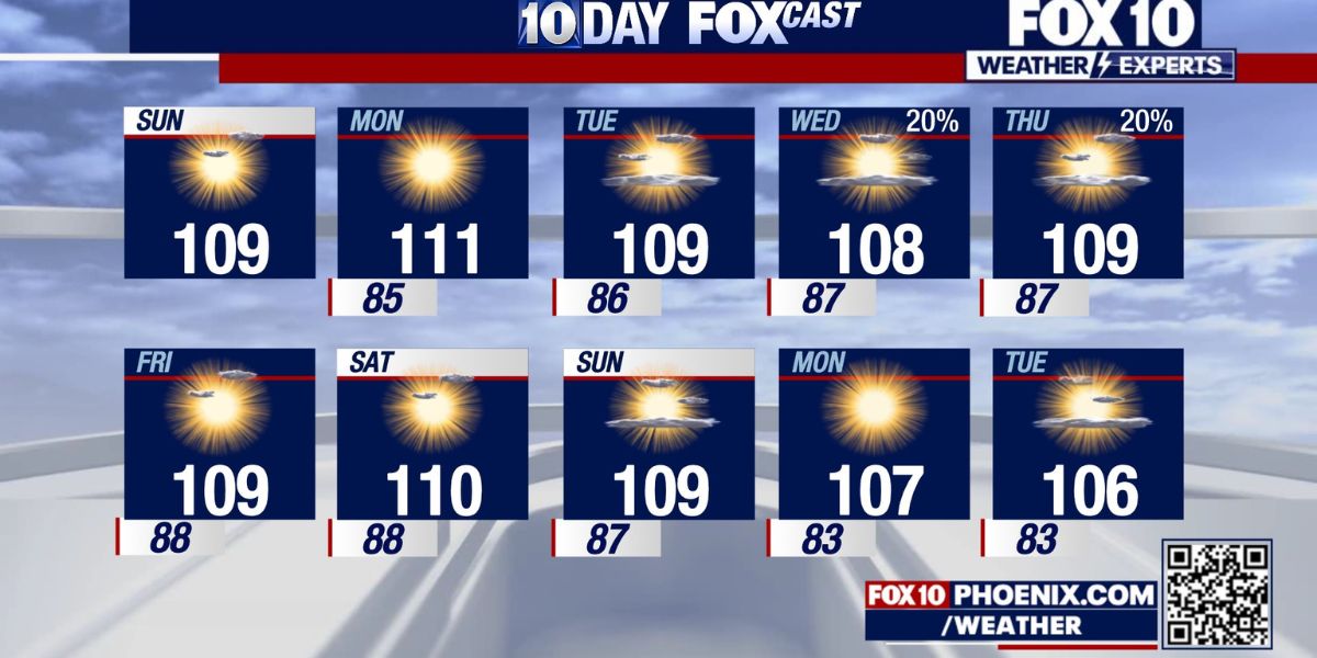
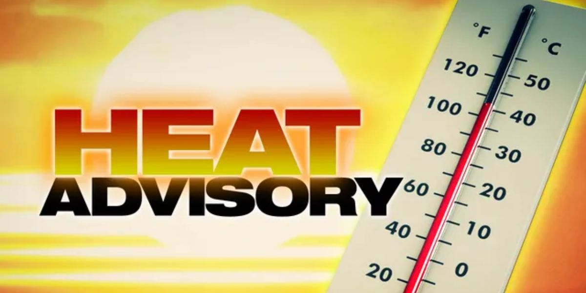
by Memphis, TN – August 1, 2025 – Western Tennessee is under an Extreme Heat Warning through 8 p.m. Thursday as oppressive summer temperatures grip the region. The National Weather Service warns that heat index values could reach as high as 111°F, posing serious risks of heat-related illness and strain on power infrastructure.
What to Expect
Actual temperatures will soar into the upper 90s, but high humidity will push the “feels-like” heat index to between 107°F and 111°F. Cities including Memphis, Jackson, Tupelo, and Oxford are among the hardest hit, with Memphis and Forrest City projected to face the most extreme conditions.
Heat-Related Risks
Most of western Tennessee and northern Mississippi are included in the warning zone. Health officials emphasize that prolonged exposure to these temperatures, especially between noon and 6 p.m., could result in heat exhaustion or heat stroke, particularly among outdoor workers, children, the elderly, and those without air conditioning.
Safety Tips
Residents are urged to take precautions, including:
- Never leaving children or pets inside vehicles, even briefly
- Wearing light-colored, loose-fitting clothing
- Staying indoors in air-conditioned spaces whenever possible
- Drinking plenty of water and avoiding strenuous outdoor activities
- Taking frequent breaks if working or exercising outside
Officials also recommend conserving electricity during peak hours to reduce the risk of power outages under increased grid demand.
Looking Ahead
While a slight break in temperatures is expected by Friday, the National Weather Service warns that heat advisories may return if overnight lows remain elevated and humidity stays high.
Residents are urged to remain vigilant, check on vulnerable neighbors, and continue monitoring updates as conditions evolve.