 by
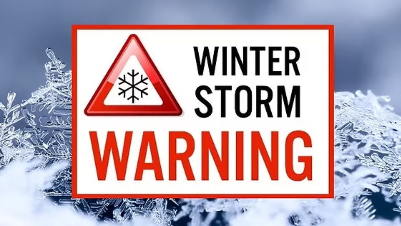
by Pittsburgh, Pennsylvania — Winter weather continues to tighten its grip across large parts of the United States as the National Weather Service (NWS) has issued new Winter Storm Warnings and advisories for several states expected to see another round of heavy snowfall through Monday. In some locations, snow totals could climb as high as 15 inches, compounding disruptions from an already harsh start to winter.
Forecasters say the latest system will impact parts of the Midwest, Northeast, Mid-Atlantic, and Alaska, bringing not only snow but also strong winds, blowing snow, and dangerous travel conditions.
States under winter storm warnings
According to the NWS, Pennsylvania, New Jersey, West Virginia, Maryland, and Alaska are among the states expected to receive significant additional snowfall between Sunday, December 14, and Monday, December 15.
While some regions are still digging out from earlier storms, this next wave of winter weather is forecast to add several more inches, particularly in higher elevations and lake-effect snow belts.
Forecasters warn that snowfall rates could be heavy at times, reducing visibility and making road conditions treacherous, especially overnight and during early morning hours.
Pennsylvania faces heavy snow and strong winds
In Pennsylvania, western portions of the state are expected to take the brunt of the storm. The NWS says up to 12 inches of additional snow is possible in parts of western Pennsylvania, with the highest totals in elevated areas, including sections of Westmoreland County.
Wind gusts of 35 to 45 mph could lead to blowing and drifting snow, significantly reducing visibility on highways and rural roads.
The National Weather Service office in Pittsburgh noted that the region is transitioning into a lake-effect snow pattern, which often produces localized but intense snowfall bands.
“Most of the significant additional accumulations today and tonight will occur north of Pittsburgh,” the NWS said, noting that northwestern Pennsylvania could see 2 to 3 inches, with isolated totals reaching 4 to 5 inches.
Snow continues across West Virginia
In West Virginia, snow is expected across multiple regions, including the northern panhandle, central, southern, western, and southeastern portions of the state.
Mountainous areas remain especially vulnerable to heavier totals, where snow can accumulate quickly and linger longer due to colder temperatures.
Transportation officials caution that winding mountain roads and secondary routes could become impassable during heavier bursts of snow.
Read Also: Arctic Air Grips Kentucky and Indiana, Frostbite Risk Through Sunday
New Jersey sees widespread accumulation
Unlike some winter systems that spare the coast, New Jersey is forecast to see widespread snowfall across much of the state.
Forecasters predict 4 to 6 inches of snow across central, northern, and southern New Jersey, which could significantly impact road conditions, especially where snow falls during peak travel periods.
Emergency managers are urging residents to complete travel and errands early and to avoid unnecessary trips while snowfall is ongoing.
Maryland’s western counties under warning
In Maryland, the heaviest snow is expected in western Garrett County, where 4 to 10 inches of snow is forecast.
Wind gusts near 35 mph could create blowing snow and near-whiteout conditions at times, particularly along ridges and open roadways.
Officials say higher elevations will see the most severe impacts, but icy conditions could develop well beyond the warning area.
Alaska braces for double-digit snowfall
Farther west, Hyder, Alaska, is forecast to receive between 11 and 15 inches of snow through Monday.
Heavy snow in this region is not unusual, but forecasters say the accumulation could still create dangerous travel conditions and avalanche concerns in surrounding mountainous terrain.
Residents are advised to prepare for reduced visibility, snow-covered roads, and possible service disruptions.
NWS urges residents to stay indoors if possible
As conditions deteriorate, National Weather Service offices are emphasizing personal safety.
The NWS in Pittsburgh issued a clear warning to residents:
“Persons are urged to stay indoors until conditions improve. If you must go outside, dress in layers.”
Officials stress that multiple layers of clothing provide better insulation than a single heavy coat. Covering exposed skin is critical to reducing the risk of frostbite and hypothermia during prolonged exposure.
“Gloves, a scarf, and a hat will keep you from losing your body heat,” the agency added.
Travel disruptions likely through Monday
Across all affected states, hazardous travel is expected, particularly on untreated roads, bridges, and overpasses. Snow combined with strong winds may lead to sudden whiteout conditions, making driving extremely dangerous.
Air travel could also be impacted at regional airports, with delays and cancellations possible as crews work to clear runways and de-ice aircraft.
Winter shows no signs of easing
Meteorologists note that this storm is part of a broader pattern of persistent winter weather, with cold air firmly entrenched across much of the country.
While some regions may see brief breaks between systems, forecasters caution that winter is far from over, and additional storms remain possible as December continues.
Residents in affected areas are encouraged to monitor local forecasts, follow guidance from emergency officials, and prepare for changing conditions.
Have you already been impacted by this latest round of snow, or are you bracing for more? Share what conditions look like in your area in the comments below.