 by
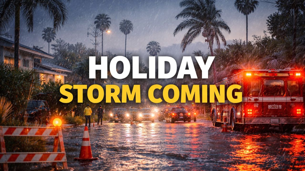
by Los Angeles, California — Southern California is heading into the Christmas holiday facing a long-lasting and potentially dangerous storm that forecasters warn could disrupt travel, flood roads and neighborhoods, and create life-threatening conditions in some areas. Officials are urging residents to prepare now as impacts are expected to stretch across several days rather than arriving in a single burst.
According to the National Weather Service, a strong atmospheric river is forecast to affect the region from Tuesday through Saturday night. While the exact timing may shift slightly, meteorologists say confidence is high that rainfall totals will be significant and impacts widespread across Southern California.
Several Days of Rain Expected, Not Just One Storm
Forecasters say the storm will deliver multiple rounds of rain, with the heaviest rainfall expected late Tuesday night into Wednesday, followed by another intense period Wednesday night into Thursday. Rain may ease at times, but showers are expected to continue through at least Saturday night, increasing the risk of flooding as the ground becomes saturated.
Rainfall totals are expected to reach 2 to 4 inches in many coastal and valley areas, while foothills and mountains could see 4 to 8 inches. South of Point Conception — including large portions of Los Angeles, Ventura, and Santa Barbara counties — officials warn that the threat of flooding, debris flows, and mudslides is especially high.
Christmas Eve and Christmas Day Pose the Greatest Risk
The most dangerous conditions are forecast for Christmas Eve and Christmas Day, when flooding and mud or rockslides could become life-threatening, particularly near recent burn scars and low-lying neighborhoods.
A Flood Watch has been issued for much of the region. The National Weather Service explains this means there is at least a 50% chance of flash-flood-level impacts, not just in burn areas but across entire communities.
In practical terms, residents should be prepared for flooded streets, possible freeway closures, and major travel delays during the holiday period.
Travel Could Be Dangerous or Impossible at Times
Authorities strongly warn drivers never to attempt to cross flooded roads. Even shallow-looking water can sweep vehicles away due to fast-moving currents. Creeks and rivers are also expected to rise quickly, and residents are urged to stay well away from waterways during and after heavy rain.
Officials advise avoiding unnecessary travel during the heaviest rain and planning ahead for road, airport, and transit delays throughout the week.
Read Also: Travel Alert: Snow and Rain Expected in New England Ahead of Christmas
Strong Winds May Cause Power Outages
Wind will be another major concern. Forecasters expect moderate to strong southerly winds, with gusts reaching 50 to 80 miles per hour in foothill and mountain areas and 35 to 55 miles per hour in coastal and valley communities.
With soil already saturated, these winds could knock down trees and power lines, leading to scattered or widespread power outages.
Residents who rely on medical equipment are encouraged to ensure devices are fully charged and backup power options are ready ahead of the storm.
Mountain Snow and Dangerous Ocean Conditions
Snow is not expected at lower elevations, but snow levels may drop to between 5,500 and 7,000 feet late Christmas Day into the weekend, creating hazardous travel conditions for mountain communities and drivers using mountain passes.
Along the coast, officials warn that ocean conditions will be extremely dangerous, with strong rip currents, possible coastal flooding, and unsafe conditions for all boats. People are urged to stay out of the water and avoid coastal hazards during the storm.
How Residents Can Prepare Now
The City of Los Angeles Emergency Management Department recommends taking several steps ahead of the storm:
- Secure outdoor items such as furniture, decorations, and umbrellas
- Stock emergency supplies, including food, water, medications, flashlights, batteries, and pet supplies
- Bring pets indoors during severe weather
- Avoid using generators indoors or in garages
- Assume all downed power lines are dangerous
Life-threatening emergencies should be reported to 911, while non-emergency flooding or storm damage can be reported through the city’s 311 system, which will operate with extended hours.
Stay Alert as Conditions Evolve
Officials say homes in high-risk areas may receive door-to-door notifications from law enforcement if evacuations become necessary. Residents are urged to pack essentials now, remain alert, and closely monitor official updates from the National Weather Service and local emergency agencies throughout the holiday period.
How are you preparing for the holiday storm? Share your plans or local conditions in the comments below.