 by
by Fort Wayne, Indiana — Northern Indiana will hold onto above-normal temperatures through Christmas Day, but forecasters are warning that hazardous travel conditions could develop Friday morning as a wintry mix moves through the region. Even light ice accumulation could lead to slick roads, especially during the early commute.
According to the National Weather Service Northern Indiana, the weather pattern will shift late Thursday night into Friday, making timing and temperature critical for travel safety.
Mild Conditions Continue Through Christmas Day
Christmas Day is expected to remain mostly dry and unseasonably mild across northern Indiana. High temperatures are forecast to range from the upper 30s to near 50 degrees, well above typical late-December averages.
These warmer readings will keep roads mainly wet rather than icy, allowing for generally smooth holiday travel during the day. No winter precipitation is expected to significantly impact travel on Christmas itself.
Rain, Fog, and Drizzle Develop Overnight
Late tonight into early Friday, rain showers are expected to move across the region. Forecasters also note the potential for patchy fog and drizzle, which could reduce visibility for late-night drivers and early-morning commuters.
These conditions may not seem severe on their own, but they can quietly increase risk, particularly on rural roads and highways where visibility changes quickly.
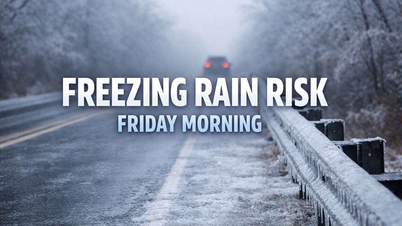
Freezing Rain Possible Friday Morning
The primary concern arrives Friday morning, when freezing rain may mix in across parts of northeast Indiana, as well as nearby portions of southeast Michigan and northwest Ohio.
While widespread ice accumulation is not expected, forecasters caution that even a thin glaze of ice can create dangerous driving conditions, especially on untreated roads.
Bridges, overpasses, and elevated ramps are most susceptible, as they cool faster than surrounding pavement and can ice over before drivers realize conditions have changed.
Conditions Improve Later Friday
As temperatures rise later Friday morning and into the afternoon, precipitation is expected to transition back to plain rain or taper off entirely. This warming trend should help reduce ice-related hazards and gradually improve road conditions.However, the timing of that improvement may vary by location, making the early morning hours the most critical period for caution.
Read Also: Post-Christmas Weather Alert: More Snow and Ice Headed for the Northeast
Travel Impacts Focused on Morning Commute
The forecast is especially important for:
- Holiday travelers returning home
- Friday morning commuters
- Overnight and early-shift workers
Forecasters stress that small temperature differences could significantly change where freezing rain develops, meaning some areas may see icy roads while others experience only rain.
Safety Recommendations
The National Weather Service advises drivers to take the following precautions Friday morning:
- Slow down and increase following distance
- Use headlights in fog or drizzle
- Be extra cautious on bridges and overpasses
- Check road conditions before departing
Even brief periods of freezing rain can lead to accidents if drivers are caught off guard.
Quiet Pattern, Subtle Hazards
Unlike major winter storms that bring snow and strong winds, this system poses a more subtle but potentially dangerous threat. Fog, drizzle, and light ice often cause more travel issues than heavier snowfall because conditions can change rapidly.
Residents are encouraged to monitor forecast updates closely as confidence increases and precipitation types become clearer.
Bottom Line
Northern Indiana enjoys a mild and mostly dry Christmas, but freezing rain Friday morning could create slick and hazardous travel, particularly during the early commute. Staying alert to changing conditions and allowing extra travel time will be key to staying safe.
Are you traveling or commuting Friday morning in northern Indiana? Share what conditions you’re seeing in the comments below.