 by
by Philadelphia, Pennsylvania — After a mild Christmas, winter weather is set to make a return to the Philadelphia region as a wintry storm brings snow, sleet, freezing rain, and rain from Friday into early Saturday. Forecasters warn that icy road conditions could develop quickly, especially overnight.
A Winter Storm Watch has been issued for much of the region from Friday afternoon through Saturday morning, signaling the potential for hazardous travel during a busy post-holiday period.
Storm Arrives Friday Evening
According to the National Weather Service, conditions will remain mostly cloudy through Friday morning and early afternoon. The storm system is expected to arrive late Friday, with snow developing around 5 p.m. as temperatures drop into the upper 20s.
As the evening progresses, precipitation will transition into a wintry mix, with snow and sleet becoming the dominant types overnight in and around Philadelphia.
North vs. South: Different Impacts
Forecasters say precipitation type will vary depending on location:
- Philadelphia and areas northeast are expected to see mostly snow and sleet
- Areas south of Philadelphia, including parts of southern New Jersey and Delaware, are more likely to see sleet and freezing rain at the onset
This setup increases the risk of ice accumulation, even if snowfall totals remain modest.
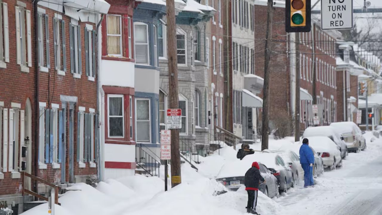
Icy Travel Likely Friday Night
The most dangerous travel window appears to be Friday night into the early overnight hours, when surface temperatures stay below freezing.
Even a thin glaze of ice could lead to slick and hazardous roads, especially on:
- Bridges and overpasses
- Untreated secondary roads
- Ramps and elevated highways
Drivers are urged to use caution, slow down, and allow extra time if travel is unavoidable.
Conditions Improve Saturday Morning
The wintry mix is expected to continue into early Saturday morning, gradually tapering off.
By around 10 a.m. Saturday, most of the storm should be finished, though lingering flurries or light rain may persist for a short time. Skies are expected to remain mostly cloudy Saturday afternoon, with highs in the low 30s.
Estimated Snow Totals by Area
Current projections suggest the following snowfall ranges:
- Philadelphia: 1 to 3 inches
- Delaware County, Chester County, and areas south of the Atlantic City Expressway in New Jersey: a coating to 1 inch
- Bucks County, northern Burlington County, and areas north of the Lehigh Valley: 3 to 5 inches
Read Also: St. Louis Weather Shift Ahead: Gusty Winds and Cold Follow Weekend Warmth
Final totals may shift depending on how long precipitation remains frozen versus mixed.
Looking Ahead to Sunday
After the storm exits, Sunday will remain cloudy with highs in the upper 30s. Another system is expected to bring rain late Sunday evening, which could melt remaining snow and create wet road conditions into early next week.
What Residents Should Do
Forecasters recommend residents:
- Monitor forecast updates closely
- Limit travel Friday night if possible
- Be prepared for icy spots, even where snowfall is light
- Check road conditions before heading out
Bottom Line
A wintry mix of snow, sleet, and freezing rain is expected to impact the Philadelphia region from Friday evening into early Saturday, bringing icy travel conditions and light-to-moderate snow accumulations. While the storm will be relatively short-lived, timing and ice risk make it an important one to watch closely.
Will this storm affect your post-holiday plans? Share what you’re expecting in your area in the comments below.