Boston, Massachusetts — A brief taste of mild air is giving parts of New England a short break, but winter is far from finished. After snow from earlier this week melted away under above-freezing temperatures, forecasters are now tracking two separate winter systems poised to impact the region between Saturday and Monday, bringing snow, ice, rain, and dangerously cold air.
Today’s conditions may feel deceptively calm for late December. Some communities are expected to reach the low to mid-40s, but strong winds are the real headline. Gusts are forecast to push past 40 mph late this morning and into the early afternoon before easing overnight. While skies remain mostly cloudy tonight, conditions stay dry as Christmas Eve transitions into Christmas Day.
Christmas Day itself is shaping up to be relatively uneventful. Forecasts call for dry weather with occasional breezes, and temperatures will hover near seasonal averages. It will neither feel unusually warm nor sharply cold, making for manageable holiday travel across much of the region.
That quiet stretch, however, will be short-lived.
Arctic Air Arrives Friday Morning
A sharp shift arrives early Friday as a blast of Arctic air moves into New England. Morning temperatures are expected to plunge to levels that could rival the coldest readings so far this season. When combined with brisk winds, wind chill values are likely to fall below zero across much of the region, creating hazardous conditions for anyone spending time outdoors.
Residents are advised to limit exposure during early morning hours and ensure pets, pipes, and vehicles are protected from the sudden cold snap.
First Alert Snow on Saturday
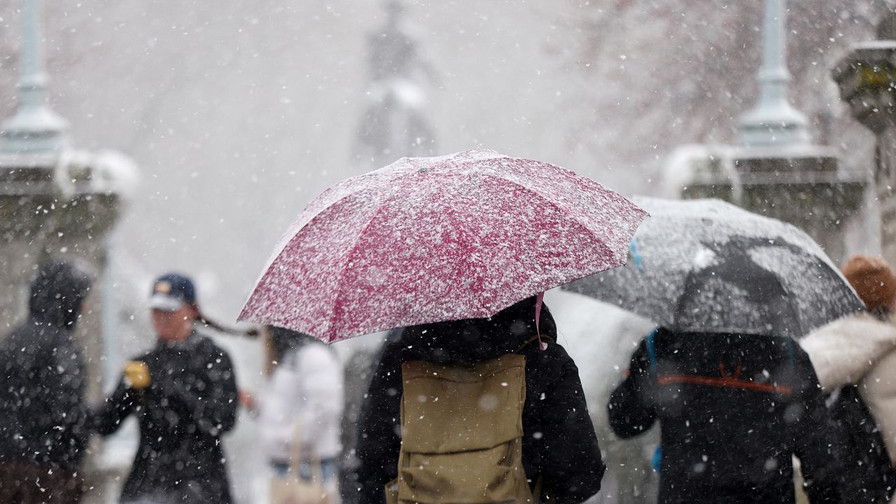
Saturday brings the first of two storm systems, prompting a First Alert for snow. While this system is expected to be relatively quick-moving, timing is a concern.
Snow is forecast to arrive during the morning hours and could produce one to two inches of accumulation in many areas. While totals remain modest, the storm coincides with a busy travel window, increasing the risk of slick roads and reduced visibility.
The good news is that this system should clear out by Saturday afternoon, allowing conditions to gradually improve before evening.
Sunday Night Storm Brings Ice Threat
The second system arrives late Sunday and poses a greater risk. Forecast models suggest precipitation may begin as freezing rain, particularly across interior and northern New England, before transitioning to plain rain as warmer air moves in aloft.
Read Also: St. Louis Weather Shift Ahead: Gusty Winds and Cold Follow Weekend Warmth
Current projections indicate the potential for up to 0.10 inches of ice accumulation in parts of Massachusetts, Vermont, and New Hampshire. Even light ice buildup can create dangerous travel conditions, downed tree limbs, and scattered power outages.
As temperatures rise, ice is expected to turn to rain, but the impacts may linger.
Heavy Rain Lingers Into Monday
Once the transition to rain is complete, precipitation could remain steady into Monday afternoon. Some locations may pick up close to one inch of rainfall, raising concerns about ponding on roadways and minor flooding in poor drainage areas.
With frozen or partially frozen ground in some regions, runoff may be faster than usual.
A Cold End to 2025
As the rain exits and colder air returns, New England is expected to close out 2025 on a sharply colder note. Temperatures heading into the final days of the year and early January are forecast to remain below average, reinforcing a wintry pattern as the region rings in 2026.
Residents are encouraged to stay weather-aware through the weekend, especially with changing precipitation types and rapidly dropping temperatures.
Have you experienced early winter impacts where you live, or are you preparing for travel during the storms? Share your thoughts and local conditions in the comments below.


