 by
by Des Moines, IA – August 1, 2025 – Residents across Des Moines are on high alert as the Des Moines and Raccoon Rivers continue to rise, threatening low-lying roads, parks, and neighborhoods through early Sunday. Emergency flood warnings are in effect, with officials urging swift precautions to avoid a potential disaster.
What’s Happening
The National Weather Service in Des Moines has issued flood warnings for Polk, Warren, and Marion Counties as river levels continue climbing since Wednesday evening. The Des Moines River at SE 6th Street is expected to surpass flood stage by late Thursday morning, cresting at 25.0 feet by Friday afternoon.
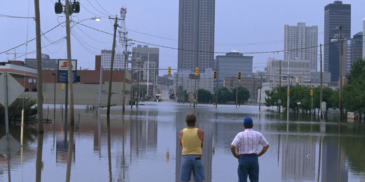
Areas near the Simon Estes Amphitheater are at risk of flooding, with water levels expected to fall below flood stage by late Saturday evening.
Meanwhile, the Raccoon River at Fleur Drive is also expected to reach dangerous levels, with forecasts showing a crest of 13.5 feet on Friday morning. Water Works Park and other low-lying areas are expected to flood.
What to Expect
Residents, particularly in Polk County, should prepare for road closures, detours, and limited access to riverside areas.
In Warren and Marion Counties, minor flooding is likely to impact roads and neighborhoods near the Center Street dam, Runnells, and along Walnut Creek. Local law enforcement and emergency crews are monitoring hotspots for developing risks.
Safety Precautions
City officials are strongly advising residents to avoid flooded roads at all costs. Most flood-related deaths occur in vehicles. Those living near riverbanks are urged to:
- Charge mobile phones and devices in case of power outages
- Secure outdoor items that could be carried off by rising water
- Familiarize themselves with evacuation routes and shelter locations
Why This Flood is Different
Unlike past seasonal flooding, this event could escalate faster due to already saturated soil from recent rainfall. The speed and volume of water moving downstream have prompted extra caution from emergency services.
What’s Next
Flood warnings will remain in place through Sunday afternoon, but river levels are expected to decline by late weekend. Residents are urged to monitor official updates from the National Weather Service and local emergency management as the situation evolves.