 by
by A Flash Flood Warning remains in effect until 6 p.m. Wednesday for parts of northwest Indiana, where heavy rain continues to impact roadways, homes, and neighborhoods. The National Weather Service (NWS) in Chicago issued the warning due to rising water levels and persistent downpours across the region.
Heavy Rainfall and Flash Flooding Across Counties
Since early afternoon, regions including northern Jasper, southern Lake, northern Newton, and southern Porter counties have reported between 1 to 4 inches of rainfall. Forecast models and radar indicate another 1 to 2 inches may fall by evening. Towns such as DeMotte, Wheatfield, Lake Village, and Kouts are already experiencing flash flooding. Localized data from radar and rain gauges confirms the high risk of continued flooding.
Hazardous Travel and Residential Threats
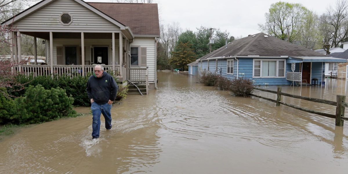
Authorities have urged drivers and residents to steer clear of flooded roadways, underpasses, and low-lying areas. Rapid rises in creeks, small streams, and drainage ditches are creating additional hazards. Communities such as Roselawn, Shelby, Schneider, and Dunns Bridge may see road closures, power outages, and stranded vehicles as rainfall continues.
Emergency Instructions and Public Safety Measures
Local emergency officials are advising residents to move to higher ground if flooding threatens their area and to avoid walking or driving through floodwaters. Flash floods can escalate quickly and pose life-threatening risks. People should also ensure that their mobile devices are charged, emergency supplies are accessible, and that they remain alert to weather updates from trusted local sources.
While the Flash Flood Warning is currently set to expire at 6 p.m., meteorologists warn that additional rainfall could extend the threat into the evening hours.