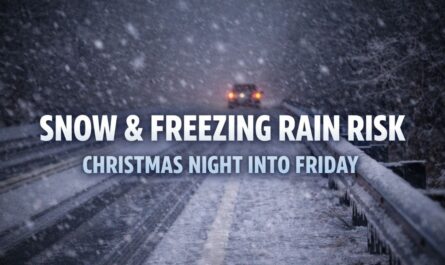
 by
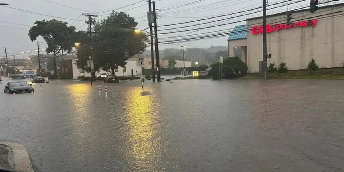
by Heavy downpours are striking northern New Jersey Thursday afternoon, triggering dangerous flash flooding across Bergen, Essex, Hudson, and eastern Passaic counties. The National Weather Service in Upton has issued a Flash Flood Warning in effect until at least 5:30 p.m., urging residents to take immediate precautions as fast-rising waters inundate streets and neighborhoods.
Rainfall Rates Reaching 2.5 Inches Per Hour
Thunderstorms are producing rainfall at alarming rates—up to 2.5 inches per hour—with 1 to 2 inches already recorded in many locations. Forecasts suggest up to 4 additional inches may fall before the storm system exits the region, rapidly overwhelming drainage systems and causing severe water accumulation.
Hardest-Hit Areas Already Experiencing Flooding
Among the hardest-hit areas are Paterson, Passaic, Hackensack, Bloomfield, and Wayne. In these cities, clogged storm drains, flooded roads, and rising streams are creating hazardous conditions for drivers and residents alike. Local officials warn that low-lying areas and poorly drained neighborhoods could become impassable within minutes as runoff intensifies.
High-Risk Roads and Urgent Travel Warnings
Drivers are strongly advised to avoid travel, especially after 3 p.m., when flooding is expected to worsen. Key roads at high risk for closure include Route 17, Route 4, the Garden State Parkway, and local underpasses. Officials caution that even shallow water can conceal dangerous potholes or fast currents, posing serious risks to motorists.
Safety Precautions Urged for Residents
Residents are urged not to walk, drive, or play in floodwaters and to move to higher ground if conditions worsen near their home or vehicle. Those living in basement apartments or flood-prone zones should safeguard electronics and valuables, unplug non-essential devices, and ensure sump pumps are operating correctly.
More Rain and Flood Risks Through the Evening
The Flash Flood Warning remains in effect through the evening, and forecasters warn that additional alerts are possible into Thursday night as storm cells continue to develop over the area. With the ground already saturated and drainage systems taxed, localized flooding may persist even after rain begins to taper off.
Stay Indoors and Monitor Emergency Updates
Officials emphasize that the safest course of action is to remain indoors, avoid all non-essential travel, and closely monitor weather updates. Residents should have an emergency plan ready and prepare for potential power outages or evacuation orders if conditions escalate.