 by
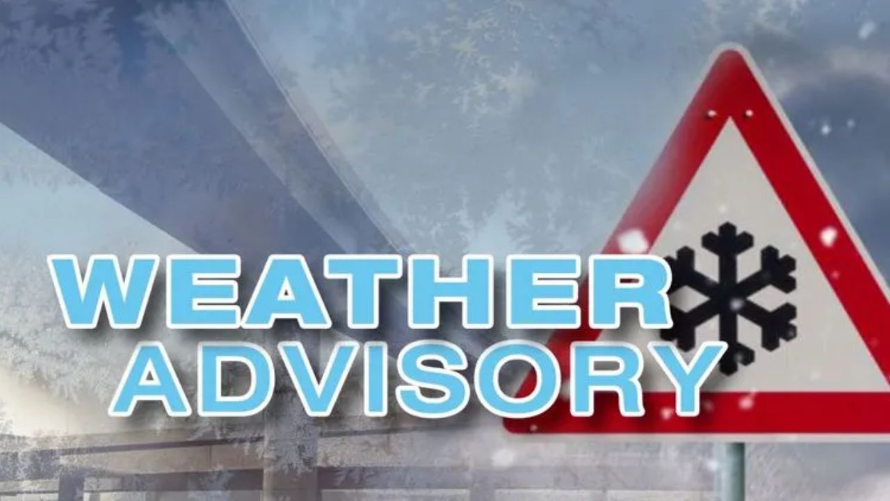
by New York City, New York — After weeks of cold air flirting with the Northeast, the first widespread snowfall of the season is expected to reach major East Coast cities, including New York City, Philadelphia, and Boston, as two fast-moving clipper storms sweep across the country this weekend.
While totals are not expected to be extreme in coastal metro areas, forecasters warn that even modest snowfall could lead to slippery roads, travel slowdowns, and airport delays, especially since it will be the season’s first meaningful snow event for many drivers.
According to AccuWeather meteorologists, the pair of clipper systems will race from the northern Plains through the Ohio Valley and toward the East Coast, spreading snow across a 1,000–2,000 mile-long corridor.
Two clipper storms driving weekend winter weather
Clipper storms are known for their speed and efficiency rather than blockbuster snowfall totals. In this case, two separate systems will move east in quick succession, each producing accumulating snow in a narrow but expansive zone.
Snow enthusiasts and ski resorts are expected to benefit, while travelers — especially those unaccustomed to winter driving — may face challenges as roads turn slick and visibility drops.
The heaviest snowfall overall from these systems is expected well west of the East Coast.
Montana sees the heaviest snow from the system
The most significant snow from the clipper pattern will fall across Montana, where a broad area is forecast to receive 6 to 12 inches of snow.
In mountainous terrain, snowfall could be far more intense. AccuWeather forecasters say localized pockets of 12 to 24 inches are possible, with an AccuWeather Local StormMax™ of up to 48 inches in higher elevations.
Read Also: Arctic Air Grips Kentucky and Indiana, Frostbite Risk Through Sunday
These totals are expected to significantly improve snowpack conditions but also create hazardous travel through mountain passes.
First clipper brings light snow to the Ohio Valley
The first clipper storm is already spreading snow across parts of the Ohio Valley, including cities such as Louisville, Kentucky, and Charleston, West Virginia.
Snowfall totals from this initial system are expected to remain modest, generally a coating to around one inch. However, forecasters caution that cold ground temperatures mean even small amounts of snow can quickly create slick and icy road conditions.
Farther east, the storm weakens as it crosses the Appalachian Mountains.
Limited impact from first storm along the East Coast
As the first clipper pushes toward the Mid-Atlantic, much of its moisture is expected to be filtered out by the terrain.
Forecasters say only a coating of snow is possible across eastern Virginia and parts of the Delmarva Peninsula, with no snow expected to reach Philadelphia, New York City, or Boston from this initial storm.
That changes quickly with the arrival of the second clipper.
Second clipper sets stage for first snow in I-95 cities
The second clipper storm will follow a similar path across the Plains and upper Mississippi Valley but is expected to track 100 to 200 miles farther north as it reaches the East Coast.
That subtle shift will allow snow to spread farther south in the Midwest, reaching parts of Nebraska, Missouri, Illinois, and Kentucky, while also increasing snow chances for the Northeast I-95 corridor.
Cities expected to receive two rounds of accumulating snow from the combined storms include Davenport, Peoria, Cincinnati, and Charleston, West Virginia, where 6 to 12 inches of snow could accumulate by the time the weekend ends.
Atlantic moisture boosts snow chances near the East Coast
As the second clipper crosses the Appalachians, it will again lose some moisture — but not all of it.
Forecasters say the storm will slow slightly and tap into Atlantic moisture, allowing snowfall to expand along the East Coast. This setup could create a noticeable snowfall gradient, with a relative drop in accumulation along the Interstate 81 corridor through Virginia, western Maryland, and Pennsylvania.
Meanwhile, snowfall becomes more widespread along Interstate 95, from Philadelphia to New York City and Boston.
First snowfall of the season for NYC, Philly, Boston
While this will not be a major snowstorm for the largest Northeast cities, it is expected to be the first general snowfall of the season.
Forecasters currently expect 1 to 3 inches of snow in Philadelphia, New York City, and Boston. Even at these levels, impacts are likely.
Officials warn that roads will become slippery, requiring treatment, and airport delays are possible due to de-icing operations. Historically, the first snowfall of the season often leads to a higher-than-normal number of accidents, as drivers adjust back to winter driving conditions.
Pockets of heavier snow possible nearby
Some areas may see more than the typical city totals.
Forecasters note the potential for 3 to 6 inches of snow in parts of the mid-Atlantic and southern New England, particularly in southern New Jersey and portions of the Delmarva Peninsula. These higher totals are less likely in New York City itself but could impact nearby suburbs.
Wicked cold follows the snow
Once the second clipper exits, the coldest air of the season so far is expected to pour south from northern Canada.
Meteorologists say this Arctic air mass could deliver brutally cold temperatures in the storm’s wake, though it may be one of the final intense cold blasts for a while, depending on how the broader pattern evolves.
What residents should expect
As the first snow of the season approaches, residents across the Northeast are urged to prepare for slower travel, slick roads, and minor disruptions, even if snowfall amounts remain modest.
Drivers should allow extra time, reduce speeds, and ensure vehicles are winter-ready. Travelers flying through major hubs along I-95 should check for potential delays.
Is this your area’s first snowfall of the season, and are you ready for winter driving again? Share your local expectations and plans in the comments below.