 by
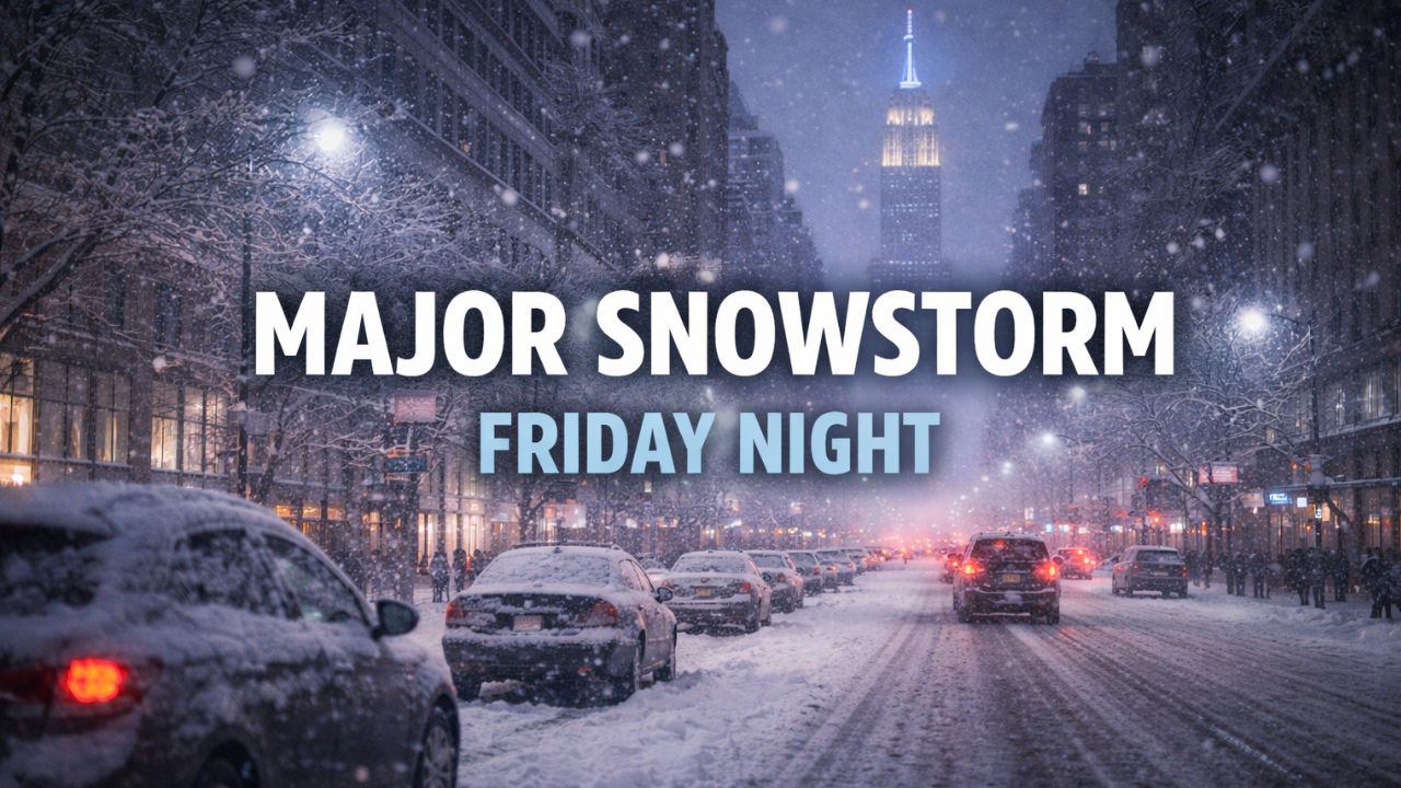
by New York City, New York — A potentially significant snowstorm is shaping up for the tri-state area, with increasing confidence in accumulating snow from Friday into Saturday. Forecasters say parts of New York, New Jersey, and Connecticut could see several inches of snowfall, setting the stage for a white and wintry weekend.
According to the National Weather Service, the developing system is expected to arrive Friday evening, intensify overnight, and taper off Saturday morning, bringing the most impactful snowfall during overnight hours.
Snow Likely for New York City and Surrounding Areas
Forecast models currently show up to 6 inches of snow possible in the immediate New York City area, with higher totals likely north and west of the city.
In northern New Jersey and the Hudson Valley, snowfall totals of up to 8 inches are becoming increasingly likely. Forecasters say even higher amounts are possible at higher elevations, particularly across Sullivan and Ulster counties, where colder air and elevation will enhance snowfall.
All-Snow Event for Much of the Region
For New York, Connecticut, and most of New Jersey, this storm is expected to fall entirely as snow, as temperatures are forecast to remain below freezing for the duration of the event.
However, areas farther southwest could see a mixed-precipitation zone, where snow transitions to sleet, freezing rain, and rain. While ice accumulation is expected to be thin, even small amounts of ice could create dangerous travel conditions.
Timing: Friday Night Into Saturday Morning
Snow is expected to begin early Friday evening, with snowfall rates increasing through the night. The heaviest snow is forecast Friday night, which could significantly impact overnight travel and early Saturday morning plans.
Light snow may linger into Saturday morning before the system exits the region.
Read Also: Health Alert: Nearly 2,000 Pounds of Sausage Sold Nationwide Recalled Over Metal Contamination
A Winter Storm Watch has been issued for much of the tri-state area, signaling that hazardous winter weather is possible within the next couple of days.
Travel Concerns and Ice Risk
Forecasters warn that roads could become slick and snow-covered quickly, especially during the overnight period when road treatment is more difficult.
In areas experiencing a wintry mix, very thin ice accumulation could lead to especially dangerous driving conditions Friday night into Saturday, particularly on bridges, overpasses, and untreated secondary roads.
Drivers are urged to:
- Avoid unnecessary travel Friday night if possible
- Slow down and allow extra stopping distance
- Monitor updated forecasts and alerts
Another System Follows Sunday Night
The wintry weather will not be the end of the weekend’s impacts. A second system is expected Sunday night, bringing warmer air and all rain to the region.
This rain could melt some of the existing snowpack, potentially leading to localized flooding, ponding on roads, and travel delays into Monday.
Colder Air to Close Out the Year
After the weekend systems move through, very cold air is expected to settle in as the region heads toward the end of 2025 and into early 2026. Temperatures are forecast to drop well below normal, reinforcing winter conditions after the storm.
Bottom Line
A Friday night snowstorm could bring 6 to 8 inches of snow to parts of the tri-state area, with hazardous travel conditions likely into Saturday morning. While a brief warm-up and rain arrive Sunday night, colder air quickly follows, keeping winter firmly in place.
Are you preparing for the Friday night snowstorm? Share what you’re expecting in your area in the comments below.