 by
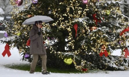
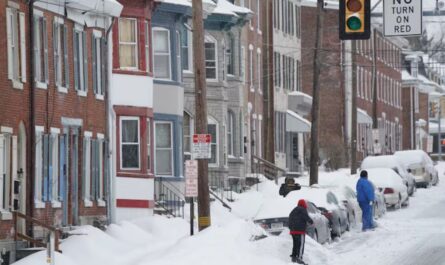
by BINGHAMTON, N.Y. — A cold, steel-gray morning settled over the Southern Tier as residents woke Friday to another reminder that December’s wintry pattern is tightening its grip. Temperatures lingering in the teens and low 20s created ideal conditions for early slick spots along I-81, Route 17, and surrounding secondary roads, prompting renewed attention from meteorologists tracking several waves of snow moving toward Broome County this weekend.
Developing System Brings Increasing Snow Chances
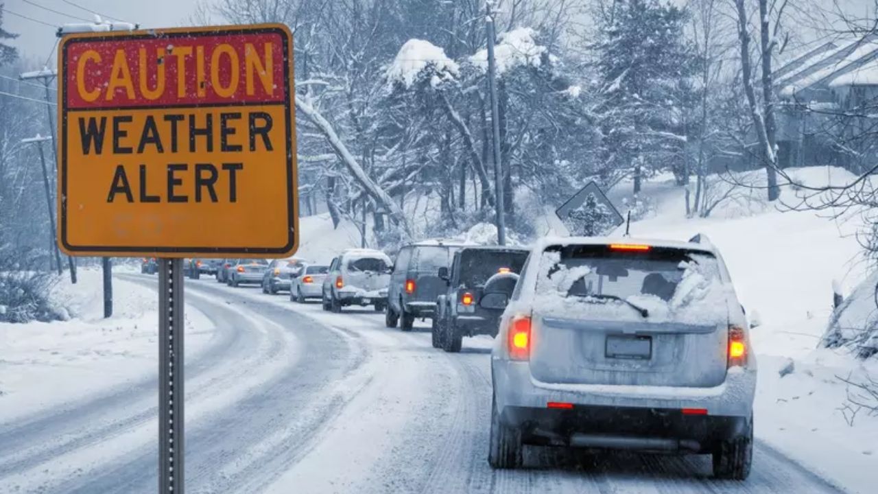
Through Friday, winds remain light, but the persistent chill means any snowfall will cling quickly to untreated surfaces, particularly shaded stretches of the interstate and hilly neighborhoods across Greater Binghamton.
Even brief flakes may reduce traction through the afternoon, especially during school dismissal and evening commutes. Drivers are urged to leave extra braking space and anticipate patchy ice forming where pavement temperatures hold below freezing.
Attention now shifts to a weak disturbance sliding into New York early Saturday. Forecast models indicate a 40% chance of snow showers by midday, gradually strengthening as moisture deepens into colder air. While this system is modest, meteorologists caution that its timing—just as weekend shopping and holiday travel increase—may still disrupt local plans.
By Saturday night, confidence rises significantly. A developing snow band is expected to reorganize over higher terrain, with a 70% likelihood of light but steady accumulation. Though forecasters do not anticipate heavy snowfall from this event, even minor accumulation can quickly create hazardous travel where temperatures remain below freezing.
On-and-Off Snow Continues Into Sunday
The unsettled pattern lingers into Sunday as another round of scattered snow showers builds across the region. Visibility may drop at times as winds briefly increase, blowing dry powder across roadways and reducing sightlines for drivers heading north toward Cortland or south toward Scranton.
Forecasters highlight the potential for flash-freezing late Sunday, particularly on sidewalks, bridges, and parking lots. Occasional breaks of sun could melt thin snow layers, only for temperatures to plunge again near sundown, causing rapid refreeze and slippery conditions heading into the evening hours.
Southern Tier Prepares for Ongoing Winter Pattern
With the second full week of December taking shape, meteorologists note this pattern is consistent with early-season winter setups across central New York. Lake-effect activity remains active to the west, and each passing disturbance reinforces colder air already anchored in the region.
While no major storm is expected, this weekend’s system marks another reminder that light snow at the wrong time can be just as disruptive as heavier events. Officials urge travelers to monitor updates and prepare for slower traffic both Saturday night and Sunday morning.
Five-Day Outlook for Binghamton
- Saturday: Cloudy with snow showers developing late morning; high near 34°F.
- Sunday: On-and-off snow showers; high near 23°F. Gusts up to 20 mph may reduce visibility.
- Monday: Mostly cloudy with scattered snow showers; high around 25°F.
- Tuesday: Partly sunny, cold; high near 29°F.
- Wednesday: Mostly cloudy with a gradual warm-up into the upper 30s.
Have you seen early snow in your neighborhood yet? Share what conditions look like near you—your reports help others stay safe on the roads.