 by
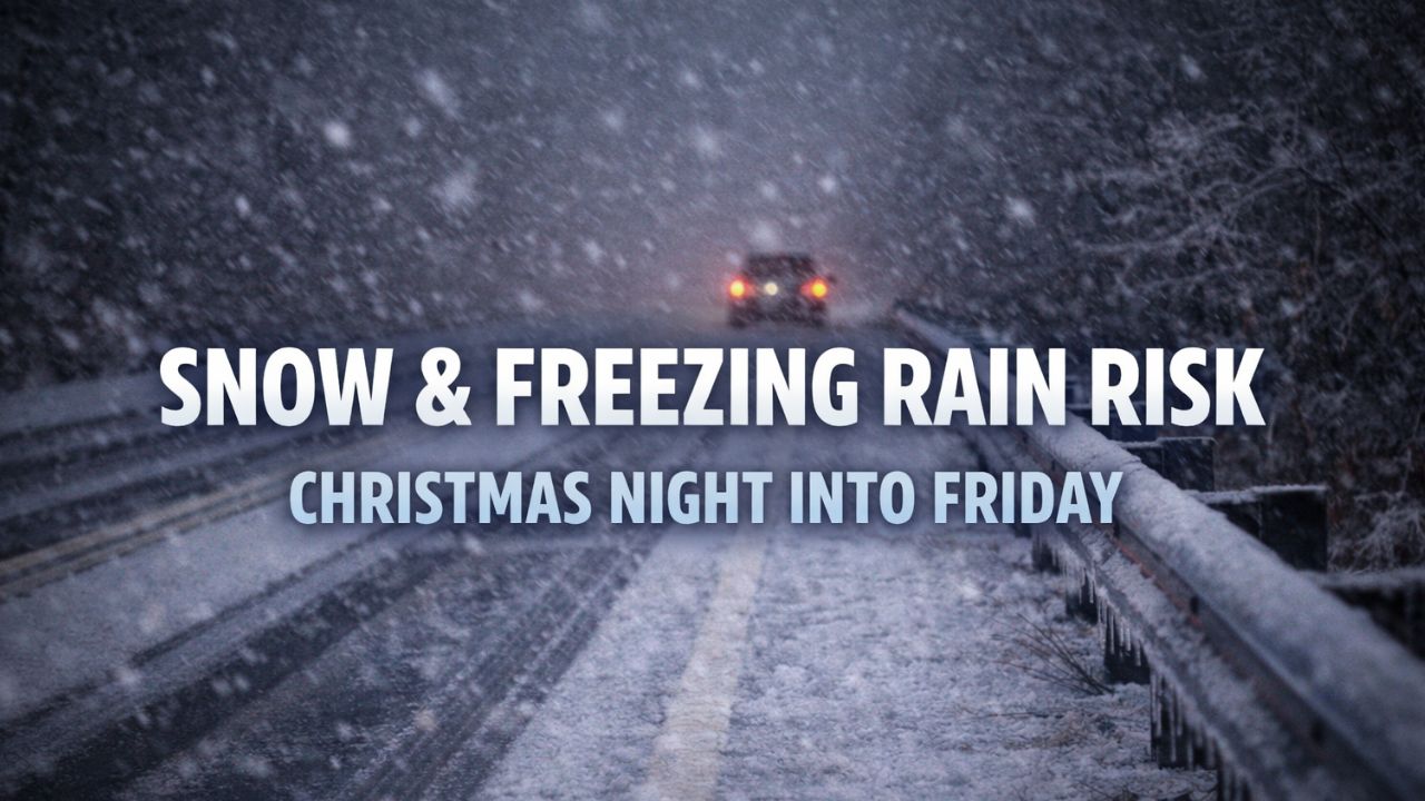
by Marquette, Michigan — Travel across Upper Michigan is expected to remain mostly smooth through Christmas Day, but conditions could deteriorate quickly late Christmas night into Friday as a winter system brings snow and a potential risk of freezing rain to the region.
According to the National Weather Service in Marquette, the developing system will move in overnight Thursday, with impacts becoming more noticeable by early Friday, particularly for overnight drivers and the Friday morning commute.
Quiet Conditions Through Christmas Day
Christmas Day itself is expected to stay largely snow-free for most of the Upper Peninsula. Road conditions should remain manageable, allowing for relatively easy holiday travel throughout the day.
Temperatures will be cold enough to support winter precipitation later, but daytime conditions are expected to hold steady before the pattern shifts overnight.
Snow Spreads In Christmas Night
Snow is forecast to begin late Christmas night, spreading across much of the Upper Peninsula as the system strengthens. Forecasters say snowfall will increase overnight, potentially creating slick and snow-covered roads by early Friday morning.
The heaviest snowfall is expected across the northern half of the U.P., with:
- 2 to 4 inches possible in the Keweenaw Peninsula
- 1 to 2 inches farther north
- Lighter amounts extending southward across the region
Snow may linger into Friday, gradually diminishing from west to east as the system exits.
Freezing Rain Could Add to Travel Hazards
While freezing rain is not expected to be widespread, forecasters note it cannot be ruled out in some locations. Even small amounts of ice could significantly increase travel hazards, especially on untreated roads, bridges, and overpasses.
Drivers are urged to be cautious if temperatures hover near freezing, as mixed precipitation could lead to rapidly changing road conditions.
Travel Impacts Increase by Friday
The National Weather Service categorizes travel impacts as low through Christmas Day, increasing to moderate or possibly high by Friday, depending on snowfall intensity and location.
The most concerning travel window appears to be:
- Late Christmas night
- Early Friday morning commute
Who Should Pay Attention
This forecast is especially important for:
- Holiday travelers returning home
- Commuters
- Delivery and overnight workers
- Anyone traveling late Thursday night or Friday
Small shifts in temperature or storm track could alter snowfall totals and precipitation type.
Read Also: Post-Christmas Weather Alert: More Snow and Ice Headed for the Northeast
Safety Tips for Drivers
Residents are encouraged to:
- Check road conditions before traveling
- Slow down and allow extra stopping distance
- Use caution on bridges and overpasses
- Monitor forecast updates overnight
Bottom Line
Upper Michigan enjoys calm travel through Christmas Day, but snow and possible freezing rain late Christmas night into Friday could lead to hazardous road conditions, particularly in northern areas. Staying informed and planning ahead will be key as conditions change.
Are you traveling in the late Christmas night or Friday? Share what you’re seeing on the roads in the comments and join the discussion.