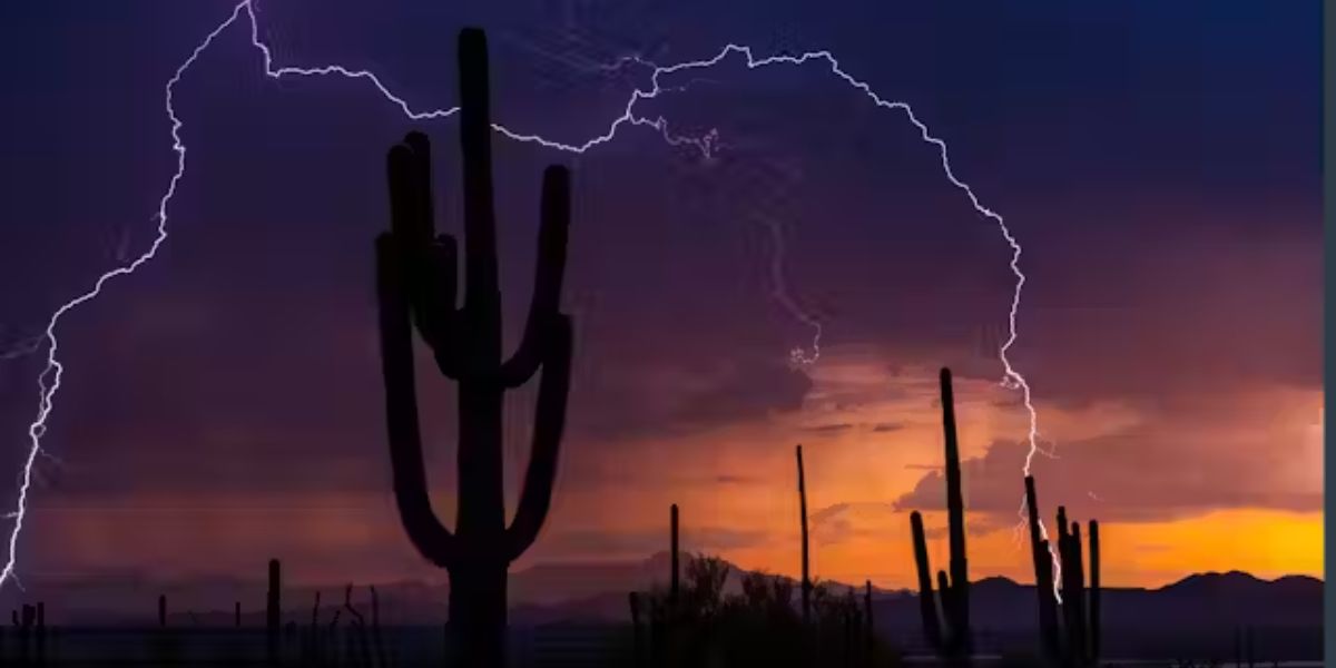
Monsoon storms are expected to intensify over New Mexico this week, increasing the potential of flash flooding and lightning hazards, particularly over burn scar areas. The storm threat will be highest on Tuesday and Wednesday, according to the National Weather Service in Albuquerque.
Storm Activity and Hazards
Scattered to widespread afternoon thunderstorms are forecast daily through Thursday, with the exception of the extreme northwest and southeast portions of the state. Some storms might drop more than 2 inches of rain per hour, accompanied with tiny hail, strong winds, and hazardous cloud-to-ground lightning.
By midweek, cities like as Ruidoso, Las Vegas, Chama, and Los Alamos will have rain probabilities above 70%. In Albuquerque, storm chances rise to 45% on Tuesday afternoon and 50% on Wednesday. The storms will be most active throughout the afternoon and evening, with the potential for quick development.
Flash Flooding: Threat and Safety Tips
The potential of flash flooding is especially high in low-lying places and near recent wildfire burn scars, where saturated soil can quickly cause runoff and debris floods. Motorists are advised to avoid flooded roads, as circumstances may develop quickly. Residents in vulnerable regions should be prepared to evacuate to higher ground if flash flood warnings are issued.
Ongoing Monsoon Pattern
The monsoon pattern will be active until at least Friday, with more watches and warnings probable as storm activity continues. For the most up-to-date information on potential dangers, visit weather.gov/ABQ.


