 by
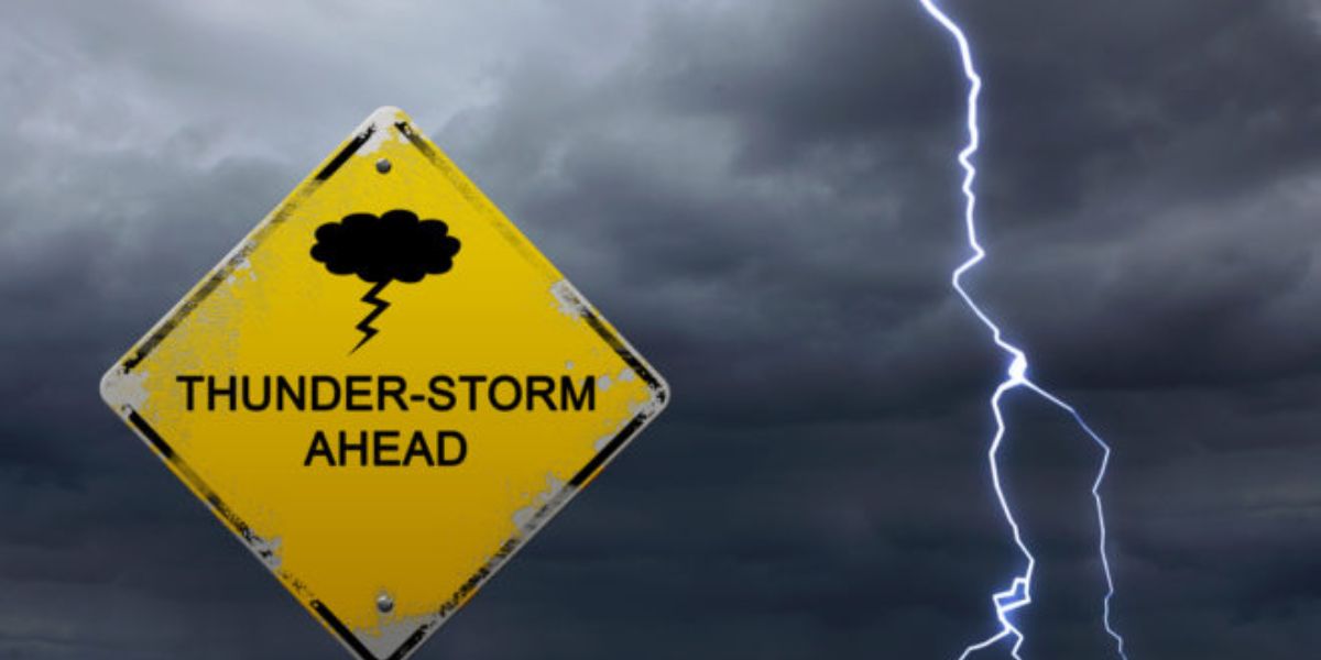
by Davenport, IA – August 1, 2025 – Scattered thunderstorms are expected to continue across eastern Iowa and northwest Illinois through Wednesday evening, bringing the potential for heavy rain, dangerous lightning, and minor flooding, especially during the evening commute.
What to Expect
The National Weather Service in the Quad Cities reports that storm activity will persist until at least 10 p.m., though the overall threat for widespread heavy rainfall has diminished. Storm coverage is estimated between 30% and 60%, with the most frequent and intense activity expected in northwest Illinois. Cities such as Freeport, Sterling, and the Quad Cities metro area are most likely to experience repeated storm development.
Risk of Localized Flooding and Lightning
The slow-moving nature of these storms may lead to localized downpours, resulting in brief but potentially hazardous flooding on low-lying roads and intersections. Lightning poses an additional danger, especially during the evening commute. Residents are advised to avoid driving on flooded roads and to seek shelter immediately when thunder is heard.
Areas to Watch
Burlington, Clinton, and Maquoketa could also see pop-up thunderstorms through the early evening hours. Although the overall flood risk remains low (Level 1 of 5), isolated flash flooding remains possible in spots that experience repeated rainfall or where drainage is poor.
What’s Next?
While some showers may continue into the overnight hours, their coverage is expected to decrease. The National Weather Service will provide updated forecasts early Thursday morning to track any lingering weather concerns and alert residents to changes.