 by
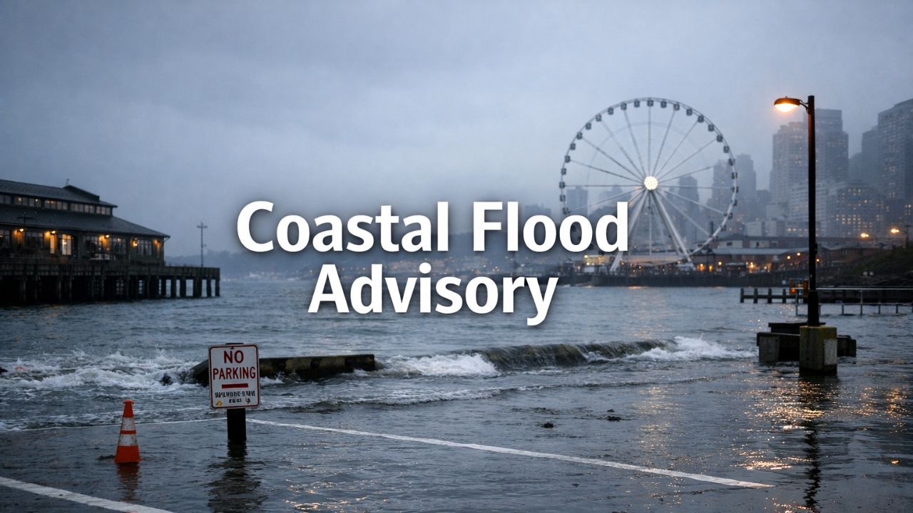
by Seattle, Washington — Cold air settles over the waterfront as morning tides push higher than normal, sending seawater into low-lying shoreline areas before sunrise. Puddles spread near piers, parks, and coastal parking lots, signaling a Weather Alert for parts of the central Puget Sound as residents begin their day.
According to the National Weather Service, a Coastal Flood Advisory remains in effect through early afternoon for Seattle, along with low-lying areas of Pierce County and southern King County. Minor coastal flooding is expected during the morning high tide, driven primarily by tidal overflow rather than rainfall.
Coastal Flood Advisory in Effect Today
Forecasters say water levels during peak tide could run about 2 to 2.5 feet above ground in the most vulnerable shoreline locations. While impacts are expected to remain limited, officials caution that low-lying coastal roads, parks, and parking areas could briefly take on water.
Flooding should stay localized, and widespread road closures are not anticipated, but drivers are urged to remain cautious. Areas near Elliott Bay, Alki, and other exposed shoreline routes may see water encroach onto pavement during the highest tide levels.
Motorists are advised to allow extra travel time and avoid driving through standing water of unknown depth, especially during peak tide hours when conditions can change quickly.
Cool Temperatures Add to Travel Challenges
Temperatures remain firmly in winter territory. Early morning readings hover near 40 degrees, with afternoon highs reaching only the mid-40s. While winds are not expected to be especially strong, the cold, damp air will make conditions feel raw throughout the day.
Light showers linger on and off, creating slick road surfaces across the metro area. Rainfall amounts remain modest, and precipitation is not the primary driver of today’s flooding concerns. Still, wet pavement combined with colder air may slow traffic during busy post-holiday travel periods.
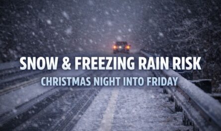
Read Also: Marquette, MI: Snow and Freezing Rain Risk Increases Late Christmas Night Into Friday
Flooding Risk Eases Later Today
As tides recede later this afternoon, coastal flooding concerns should gradually ease. Forecasters do not expect additional advisory-level flooding once water levels drop, allowing shoreline areas to drain naturally.
Residents in flood-prone zones are encouraged to monitor conditions closely during the morning hours, secure property where needed, and move vehicles from areas that are known to flood during high tides.
Unsettled Pattern Continues Through the Weekend
Beyond today’s tidal concerns, the broader weather pattern across western Washington remains unsettled. Scattered showers continue through the weekend, with cool afternoons and chilly nights becoming the norm.
Overnight lows are expected to dip into the mid-30s, particularly away from the immediate shoreline. During brief breaks in cloud cover, patchy frost may develop in sheltered inland areas, potentially impacting early-morning travel.
Daytime temperatures through Saturday and Sunday remain below seasonal averages, generally topping out in the low to mid-40s. While no major storms are forecast, the persistent dampness keeps roads slick and outdoor conditions uncomfortable.
Looking Ahead to Sunday and Monday
By Sunday and into Monday, conditions stay cool and wet, but no additional coastal flooding is expected at this time. Meteorologists continue to monitor upcoming tide cycles and offshore systems, especially as the final full week of December unfolds.
Rainfall remains light to moderate, and no significant wind events are currently on the horizon. The overall pattern favors gray skies, occasional showers, and steady winter chill rather than severe weather.
What to Watch Right Now
For today, the main concern remains minor coastal flooding during the morning high tide. Shoreline travelers should plan carefully, avoid flooded areas, and remain alert until the advisory expires early this afternoon.
As tides lower and flooding subsides, attention shifts back to the familiar winter routine: cool temperatures, damp roads, and unsettled skies carrying Seattle into the final days of the year.
Are you seeing coastal flooding or travel impacts in your area this morning? Share what conditions look like where you are in the comments below.