 by
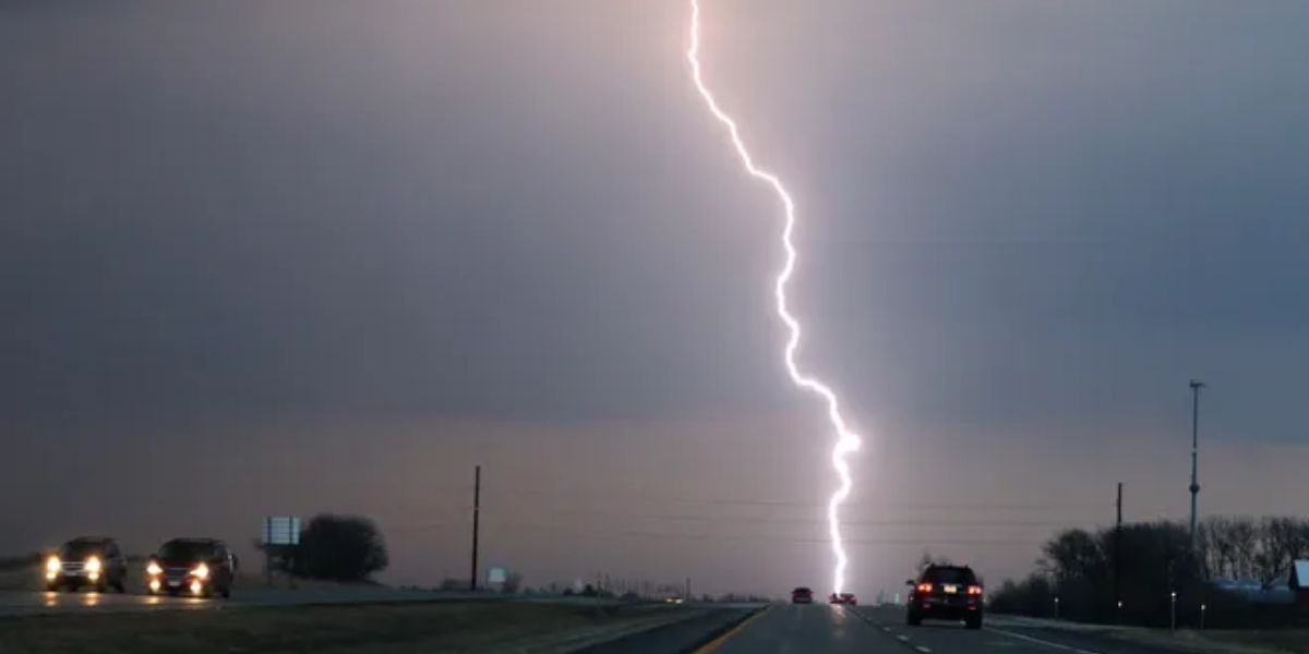
by A severe thunderstorm watch remains in place early Tuesday morning for parts of north-central and northeast Iowa as strong storms continue to track through the region.
Overnight, storms swept across areas mainly north of U.S. Highway 30, bringing damaging wind gusts and loud thunder to several communities. The most intense winds were concentrated north of U.S. 20, where conditions remained hazardous through the predawn hours.
The storm front is expected to reach the Interstate 35 corridor around midnight and move out of central Iowa by approximately 4 a.m. However, another round of storms is possible overnight, especially in northern Iowa after midnight. These storms could again bring strong winds, posing a risk to trees, power lines, and outdoor structures.
Despite the morning storms, Tuesday afternoon will remain hot and humid across much of the state. Forecasters warn of heat index values climbing to 105 degrees in some areas. Highs are expected to reach the lower 90s, with winds from the south at 5 to 10 mph.
Storm chances return Tuesday night into Wednesday as a cold front sweeps across the state. This next system brings another round of potentially severe weather, with gusty winds being the primary concern.
After the front moves through, a noticeable cool-down is expected. Morning lows will drop to the 50s and 60s by the end of the week, with daytime highs settling into the 70s—offering much-needed relief from the recent stretch of heat and storms.
Forecast Highlights:
- Tuesday: Partly to mostly sunny, with a heat index reaching up to 105°F. High near 92°F.
- Tuesday Night: Scattered showers and thunderstorms late. Low near 72°F with east-northeast winds at 5 to 10 mph.
Residents are urged to stay weather-aware, especially during the overnight hours, and to be prepared for changing conditions as storms continue to affect the region.