 by
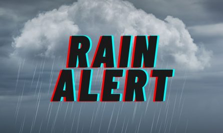
by After several days of intense summer heat, Thursday will bring the fourth consecutive NEXT Weather Alert, but not for the usual reason. While temperatures will remain warm, the primary concerns will shift to severe storms and potential flooding, offering a dramatic end to the current heat wave.
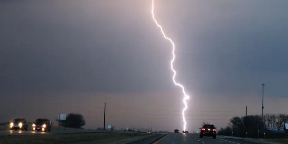
Showers and thunderstorms are expected to develop Thursday afternoon ahead of a strong cold front. This system will not only bring an increased threat of flooding rains but may also include severe storms, primarily with damaging wind gusts. The Storm Prediction Center has placed the region under a moderate flood risk—a 3 out of 4 on the risk scale—indicating significant potential for water-related disruptions.
The heaviest activity is expected between 2 p.m. and 9 p.m., with the evening commute likely to be heavily impacted by downpours and hazardous conditions.
On Friday, the weather will take a sharp turn. Highs will plummet to the low to mid-70s, a stark contrast to recent days. This cooldown brings temperatures closer to record lows for the date than the typical average highs in the upper 80s.
Friday also marks the start of August and the beginning of a more comfortable stretch of weather. For at least the first week of the month, residents can expect a break from the oppressive heat.
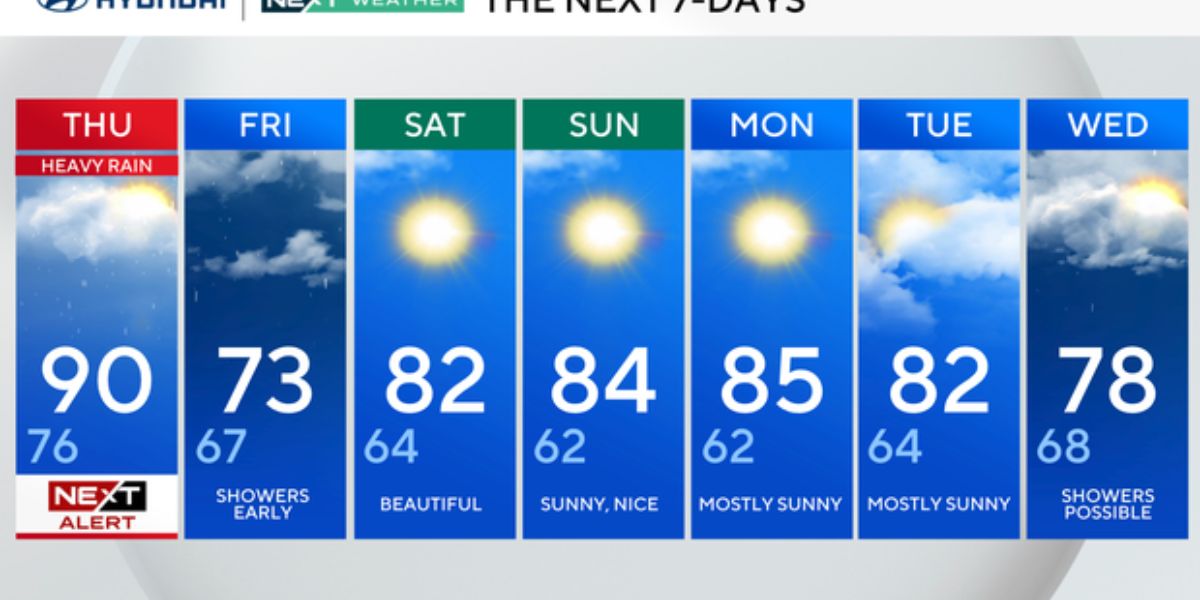
Here’s a look at your 7-day forecast:
- Thursday: NEXT Weather Alert for heavy rain and storms. High 90, Low 76
- Friday: Morning showers possible. Much cooler. High 73, Low 67
- Saturday: Mostly sunny and pleasant. High 82, Low 64
- Sunday: Clear skies and comfortable. High 84, Low 62
- Monday: Mostly sunny. High 85, Low 62
- Tuesday: Sunny with mild temperatures. High 82, Low 64
- Wednesday: Showers possible. Hotter again. High 98, Low 78
With the worst of the heat fading and more seasonal conditions ahead, this week’s storm activity may ultimately offer a welcome tradeoff—relief at the cost of a few stormy hours.