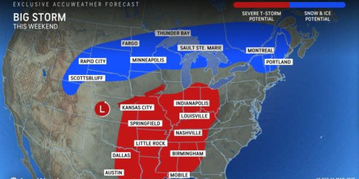
One more day of bright weather is expected to be seen in the Southern California region before a series of storms that are expected to produce moderate to heavy rain and snow over the next couple of days, according to forecasters.
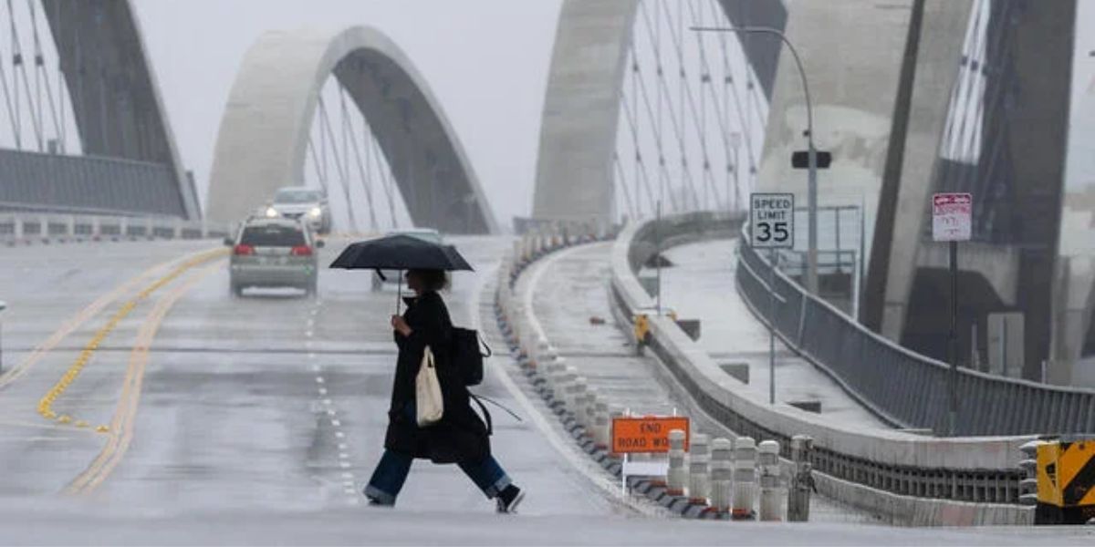
As the first storm begins to make its way into the region, the National Weather Service has stated that there is a possibility of rain developing overnight on Monday.
According to the forecasts of the weather service, there will be no more than a quarter of an inch of precipitation this evening and into Tuesday morning.
“The chance of rain will decrease Tuesday morning and the only area with a realistic chance of rain is LA County and even if it does rain it will be a tenth of an inch or much less,” according to the National Weather Service.
The second storm is expected to arrive on Wednesday night, bringing temperatures that range from the high 50s to the low 60s across a significant portion of Ventura and Los Angeles counties.
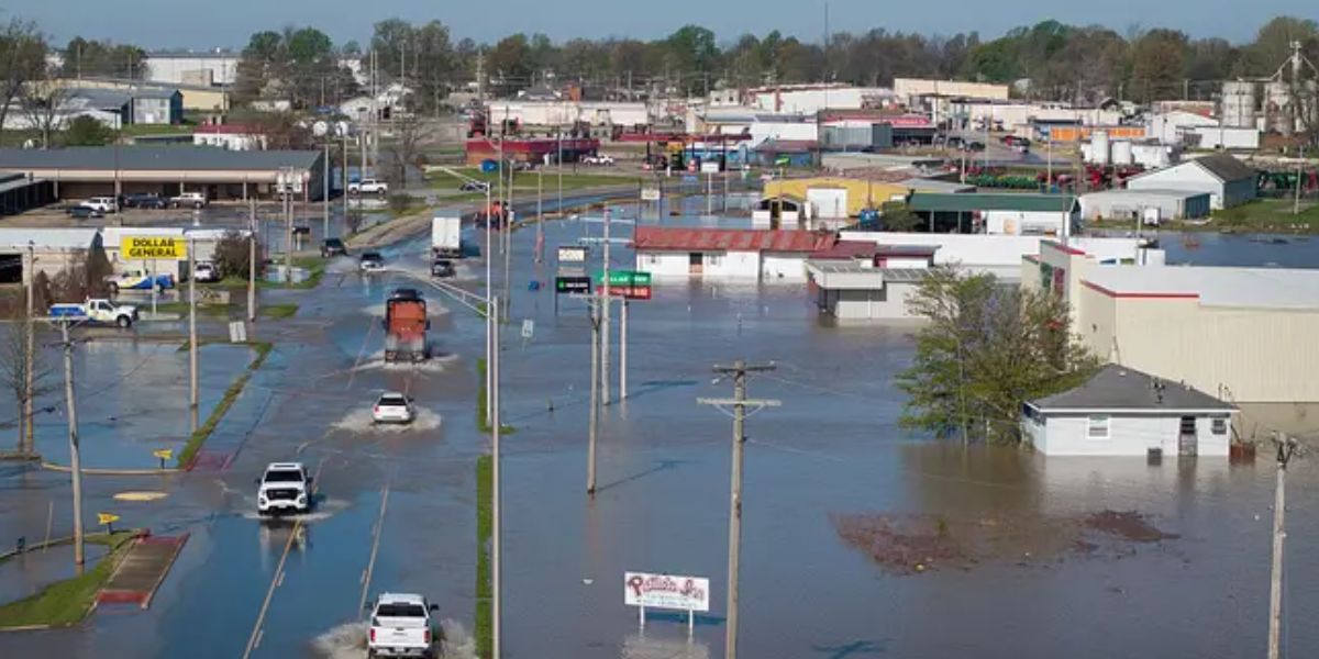
The weather forecasters have stated that there is “very good confidence” that the storm will be of a moderate intensity, with the possibility of debris flows and floods in the nearby area.
There is a risk of thunderstorms with brief heavy downpours from Wednesday night into Thursday morning. The chance ranges from ten to twenty percent.
Elon Musk Wants to Give Out $5,000 DOGE Stimulus Checks—Are You Eligible
Estimations of the total rainfall:
- 1 to 2 inches along the coast and in valleys
- Mountainous regions and foothills: two to four inches
In the midst of the storm’s most intense phase, rainfall rates might be higher than half an inch per hour. It is anticipated that the snow levels would range from 6,000 to 7,000 feet during the peak of the storm. Significant snow accumulations are possible in mountainous regions that are higher than 6,500 feet.