 by
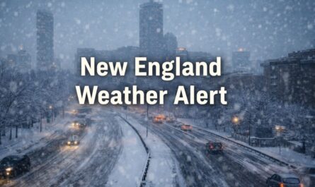
by New England — Winter has officially arrived across New England, but the season is starting with mixed signals. While temperatures surged close to 50 degrees early Monday, forecasters say colder air is already moving back into the region, setting the stage for a potential snow event just days before Christmas.
Meteorologists say breezy conditions will continue through Monday afternoon, with wind gusts reaching around 30 mph. While not nearly as strong as last week’s windstorm, the gusts will still be noticeable before a sharp change arrives overnight.
Colder Air Returns Overnight
By Monday night, winds will shift direction and begin pulling in much colder air from the north. Tuesday morning is expected to feel dramatically different, with wind chills dropping below zero in some locations and single-digit wind chills common across much of the region.
The early part of Monday will remain windy, but conditions should gradually ease later in the day as colder air settles in.
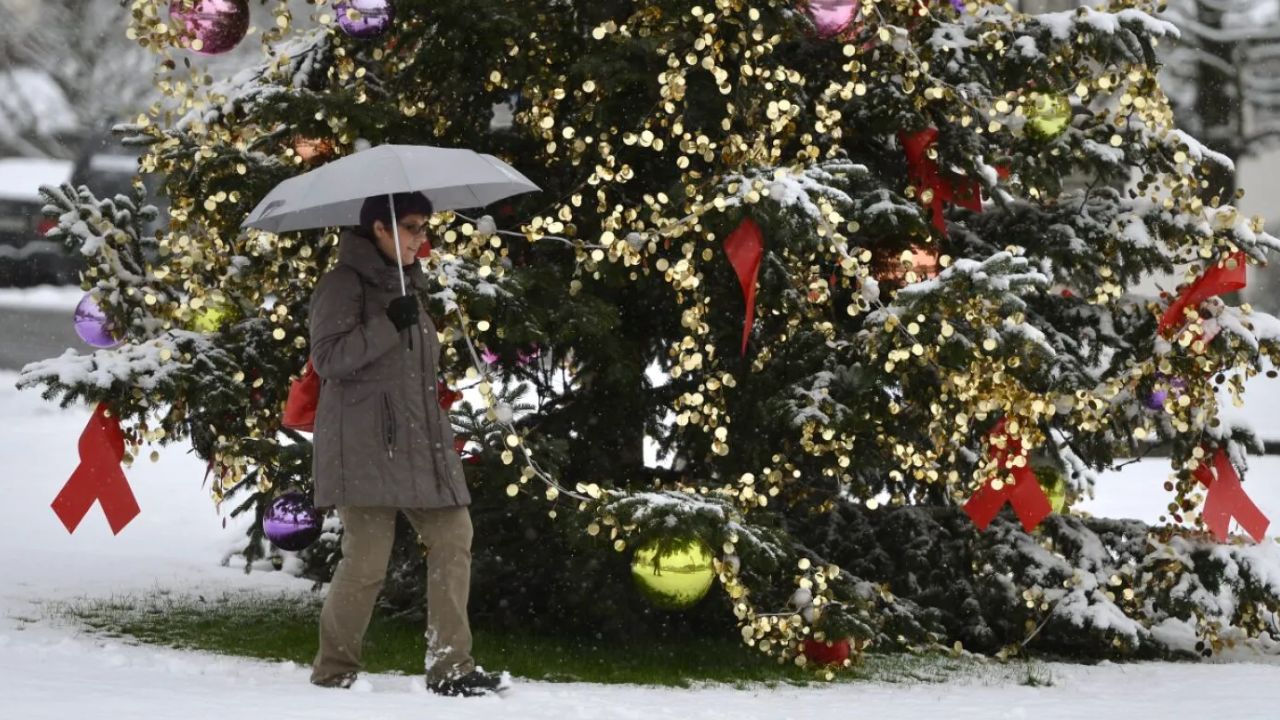
Tuesday Storm Brings Snow First, Then Rain
Forecasters are closely monitoring a fast-moving disturbance expected to arrive on Tuesday. While it is not a major storm, its timing could create travel complications during one of the busiest weeks of the year.
The system is expected to begin as snow Tuesday afternoon, before transitioning to rain later in the day or evening as temperatures rise.
Current projections suggest:
- 1 to 2 inches of snow across much of New England
- Followed by around a quarter inch of rain
- Potential for plowable snow in some areas, especially inland
Even modest snowfall could slow traffic significantly, especially with holiday travel already underway.
Best Travel Window for Christmas
Forecasters say those with flexibility may want to delay travel until Wednesday, which is shaping up to be a much better option.
Both Christmas Eve and Christmas Day are expected to be dry, calm, and seasonable, offering favorable conditions for travel, last-minute errands, and holiday gatherings.
Read Also: Popular Fashion Retailer Quietly Closes Dozens of Stores as Shopping Habits Shift
Active Pattern Returns After Christmas
The quieter stretch won’t last long. Meteorologists are tracking a more active weather pattern expected to return after Christmas, bringing additional rounds of rain and snow by Friday, with unsettled conditions lingering into the weekend.
While it remains too early for precise snowfall totals later in the week, residents are encouraged to stay alert as forecast details become clearer.
Do you think this week’s storm will be enough to deliver a true White Christmas in your area? Share your thoughts and local conditions in the comments below.